episcopal palace of
curtea de arges
The Argeș Monastery ensemble is one of the most appreciated Romanian feudal monuments, both in the country and abroad. Founded by the lord of Wallachia Neagoe Basarab (1512-1521), Curtea de Argeș Monastery is a masterpiece of medieval architecture, but also one of the most valuable constructions of church architecture in Romania. The royal monastery of Argeş was built at the beginning of the 16th century, on the site of an older monastery, by the ruler Neagoe Basarab. The attention of the new ruler, a descendant of the Craiova boyar family, turned to the "seat of the Bessarabians" with the probable purpose of strengthening his connection with the old ruling family. Simultaneously with the relocation of the headquarters of the Metropolitan Church of Ungrovlahia from "our fortress" Argeş, as the settlement was called, in Târgovişte, the princely monastery remained with the rank of "chinovie of monks", but was raised to the rank of archimandrite.
Out of the need to preserve and capitalize on the whole Argeș Monastery, a place full of history, traditions and legends, the Archdiocese of Argeș and Muscel started in 2016 a large project to consolidate, restore and capitalize on tourism. In 2017, the financing was obtained for the implementation of the project << Restoration, consolidation and enhancement of the Ensemble of the Episcopal Palace from Curtea de Argeș, of the annex buildings, of the wooden church “Entrance to the Church of the Mother of God”, of the precinct wall , of external networks and construction of information point ”.
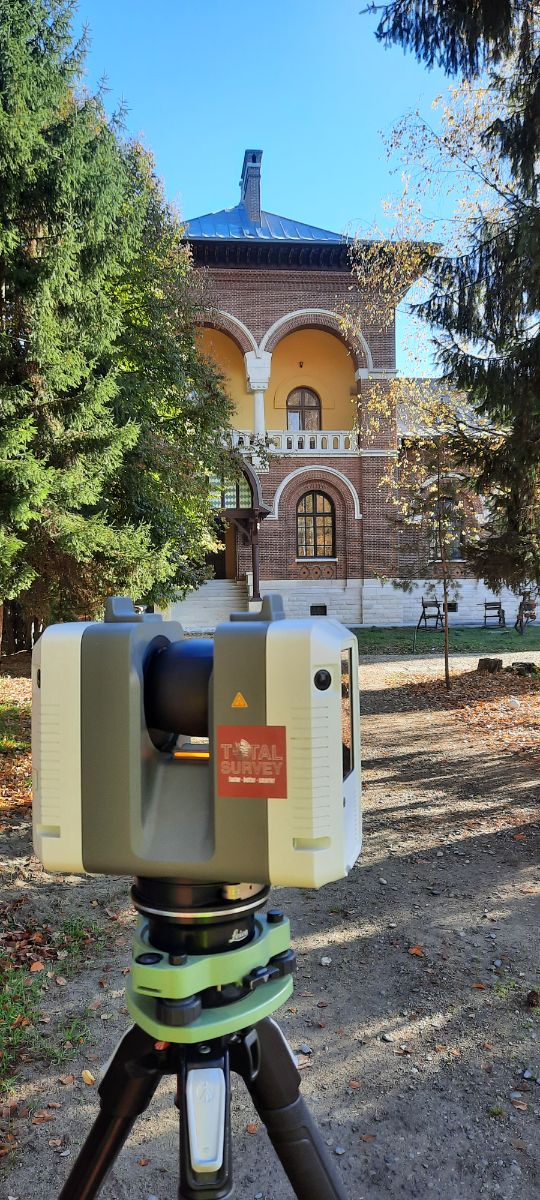
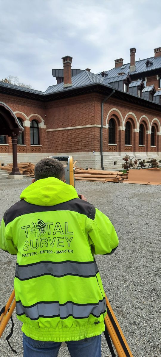
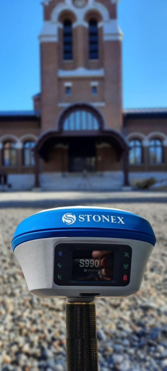
After the completion of the restoration project, the episcopal ensemble was digitized by 3D scanning.
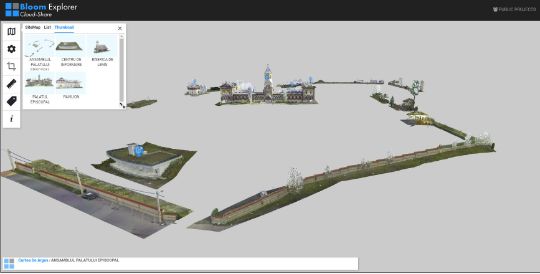
Objectives
- Episcopal palace
- The wooden church
- Annex constructions
- Information Center
- Enclosure wall
Surface
The five objectives of the episcopal ensemble Curtea de Argeș monastery included in this 3D scanning digitization project have an area of over 15500sqm.
3D scanning stations
This project required 1250 RGB 3D scanning stations made at medium (6mm @ 10m) and high (3mm @ 10m) resolution. The final network consists of over 3500 links.
reliable for


© 2024 Xplorate Group - All rights reserved |GDPR terms and conditions